

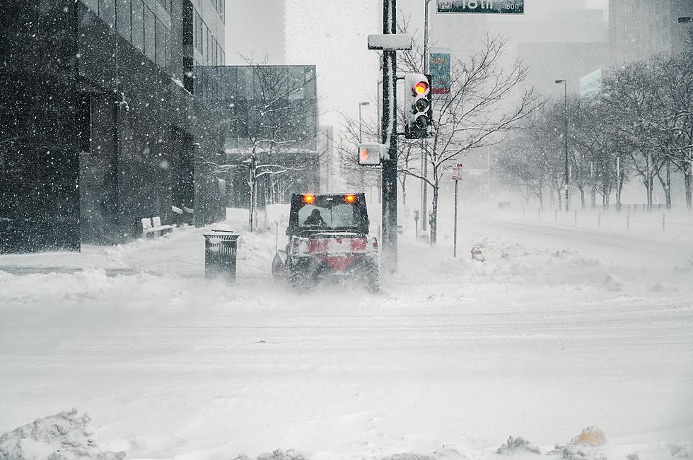
Happy 2022: Major Winter Storm to Hit Eastern Iowa New Years Day
There is good news and bad news associated with an upcoming winter storm that is set to pulverize the midwest, including eastern Iowa this New Years Day. The good news: if you have plans tomorrow, New Year's Eve, you'll be okay. The storm won't hit until Saturday. The bad news, you may be stuck at your New Years' party until January 2nd. Why? We could get 7 or more inches of snow.
A Winter Storm Watch is on the horizon
The winter storm watch, which is likely to become a warning in the next 24 hours, will take effect on New Years Day (Saturday) at 6 a.m. For now, this impacts mainly portions of eastern Iowa that are south of Highway 20. So Cedar Rapids has this watch whereas Waterloo/Cedar Falls currently does not. That could change.

CBS2 is predicting a slight shift south, which certainly could spare portions on northeast Iowa, but they also warn like all looming storms, the track is likely to change before impact. As it stands now, far northeast Iowa up around Oelwein and as far north as Decorah are likely to get a trace to only 2 inches of snow, where Cedar Rapids and Iowa City could conceivably get 7+ inches. CBS2 also says portions of the midwest will see 10 or more inches from this system.
Cold temperatures and wind will be a factor
Temps are expected to be around 25 degrees which will make for heavier, fluffy snow. Wind gusts are likely to reach 30 mph and that combination will equal difficult travel on area roads.
Again, the system is likely to shift at least slightly before the New Year. This could change the predicted snow. For now, it might be smart to make lodging arrangements if you're traveling for the New Years' holiday.
'60s Studio Apartment Airbnb in Pella
Gallery Credit: Eric Stone
Rustic Cedar Rapids Home Has Heated Floors and a Rock Climbing Wall
Gallery Credit: Eric Stone
More From Q98.5

![These Are The Best Reviewed Distilleries In Eastern Iowa [PHOTOS]](http://townsquare.media/site/724/files/2024/06/attachment-Untitled-design2.jpg?w=980&q=75)


![Oelwein Neighbors For Sale With Almost $100K Difference [PHOTOS]](http://townsquare.media/site/672/files/2022/06/attachment-feat-image-96.jpg?w=980&q=75)


