
Where is the Highest Point in Black Hawk County?
The highest point in the United States is Mt. McKinley, Alaska, at 20,237 feet above sea level.
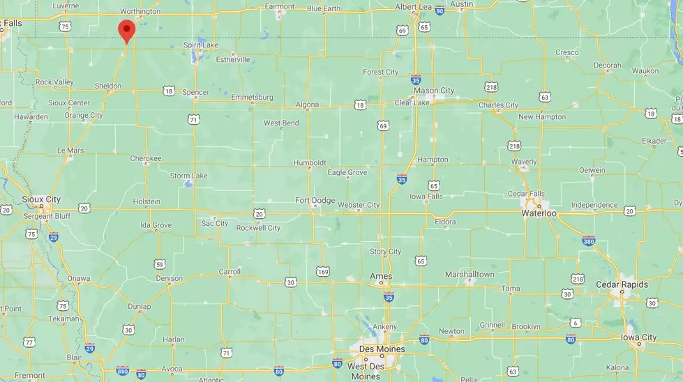
The highest point in Iowa is on Sterler Farm, north of Sibley, in Osceola County, and is 1,670 feet above sea level. This point was officially named Hawkeye Point in 1998.
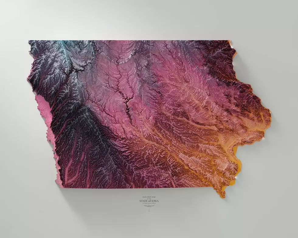
The mean elevation in Waterloo is 868 feet and in Cedar Falls, it’s around 900 feet above sea level. The mean elevation of the state of Iowa is 1,100 feet above sea level.
But where is the highest point in Black Hawk County?
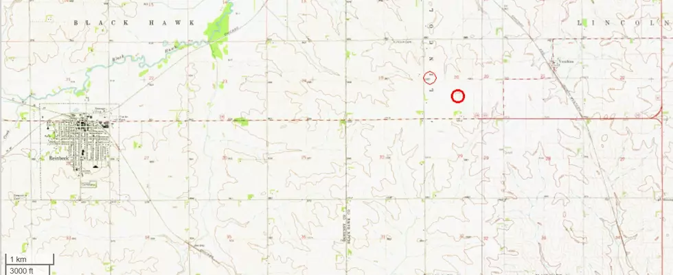
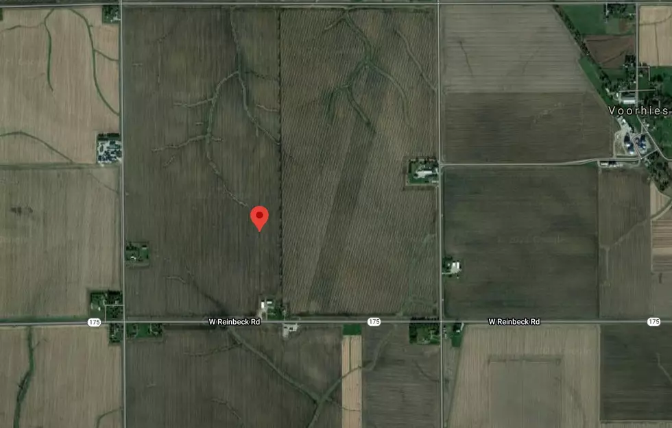
According to peakbagger.com and the corresponding map (below) the high point of Black Hawk County is located on farmland in an area between Lincoln and Reinbeck at 1,030 above sea level.
Only 19 other counties in Iowa have a high point LOWER than Black Hawk County’s highest elevation.
Iowa's lowest point of 480 feet is located at the junction of the Des Moines and Mississippi Rivers, at the most southeastern point of Iowa. The mean elevation of the state of Iowa is 1,100 feet above sea level.
41 other states have a higher "Highest Elevation" point than Iowa.
See the Must-Drive Roads in Every State
The 100 Best Places to Live in the Midwest
More From Q98.5